Mapping mangroves using Landsat / Sentinel 1&2
Last version: May 13, 2022
1 Overview
Mangroves play a critical role in our social, economic, and ecological resources, but there are gaps in our understanding of carbon accounting and management. While mangroves forest occupy less than 0.1% of Earth’s surface they store up to 10 times more carbon per hectare than terrestrial forests. This is why we use advance remote sensing methods to monitor its status.
This tutorial uses different satellite imagery to map the current extent of mangroves using Sentinel 1 & 2 and historically using the Landsat legacy. This project is funded by SilvaCarbon and the study region is Colombia.
More info about other mangroves related projects https://mangrovescience.org/ (PI. Lola Fatoyinbo)
You can cite this tutorial as: ![]() .
This tutorial is also part of a scientific paper under review.
.
This tutorial is also part of a scientific paper under review.
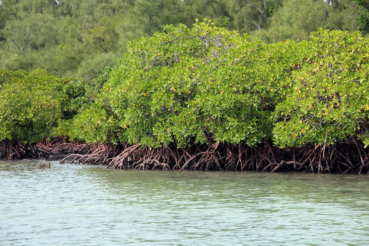
Figure 1.1: Mangroves Source: Pixabay